Mt Tsukuba (筑波山)


Region: Kanto, Nigata Prefecture
Elevation: 877 m (2,877 ft)
Coordinates: 36°13.31′N 140°06.24′E
I reached the trailhead late in the evening – it was dark and cold. Without lights, I was so disoriented and ended up driving few circles around the parking lot, to locate the trailhead. But no luck - I’ve parked far end of the parking lot. It took me sometime to set up the sleeping platform (did I mention it was cold? I was hungry but was not going to put my mini table outside and (did I mention it was cold)? I ended up having some snacks and went to sleep around mid-night.
I was supposed to join group of hikers, and we started the hike around 4:30. Only after, I entered the trail, I realized that I’ve forgotten my head lamp – well, comedy of errors continues from last night. By following others, I was able to navigate the trail, without braking ankle and reached the peak in time.
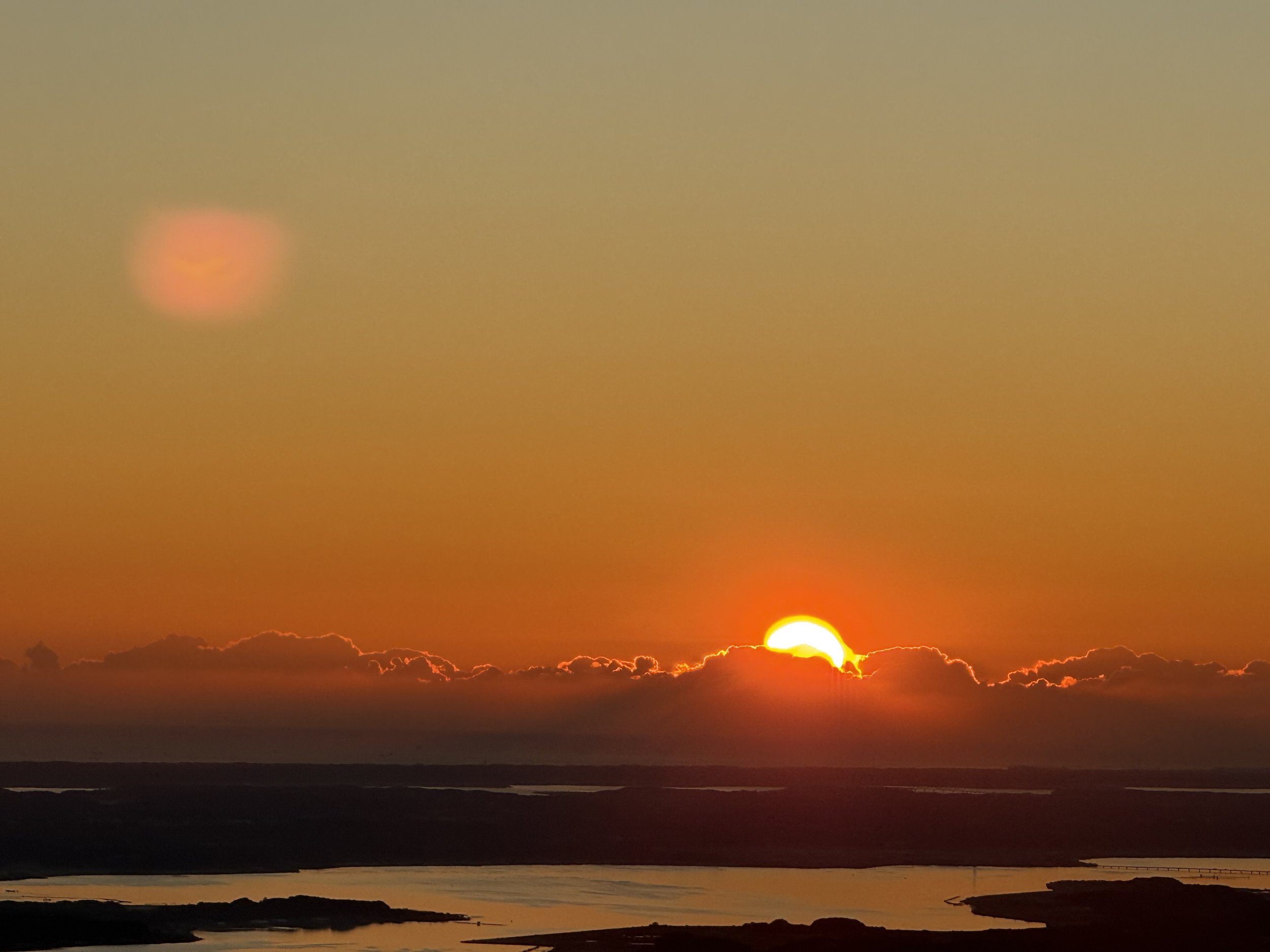
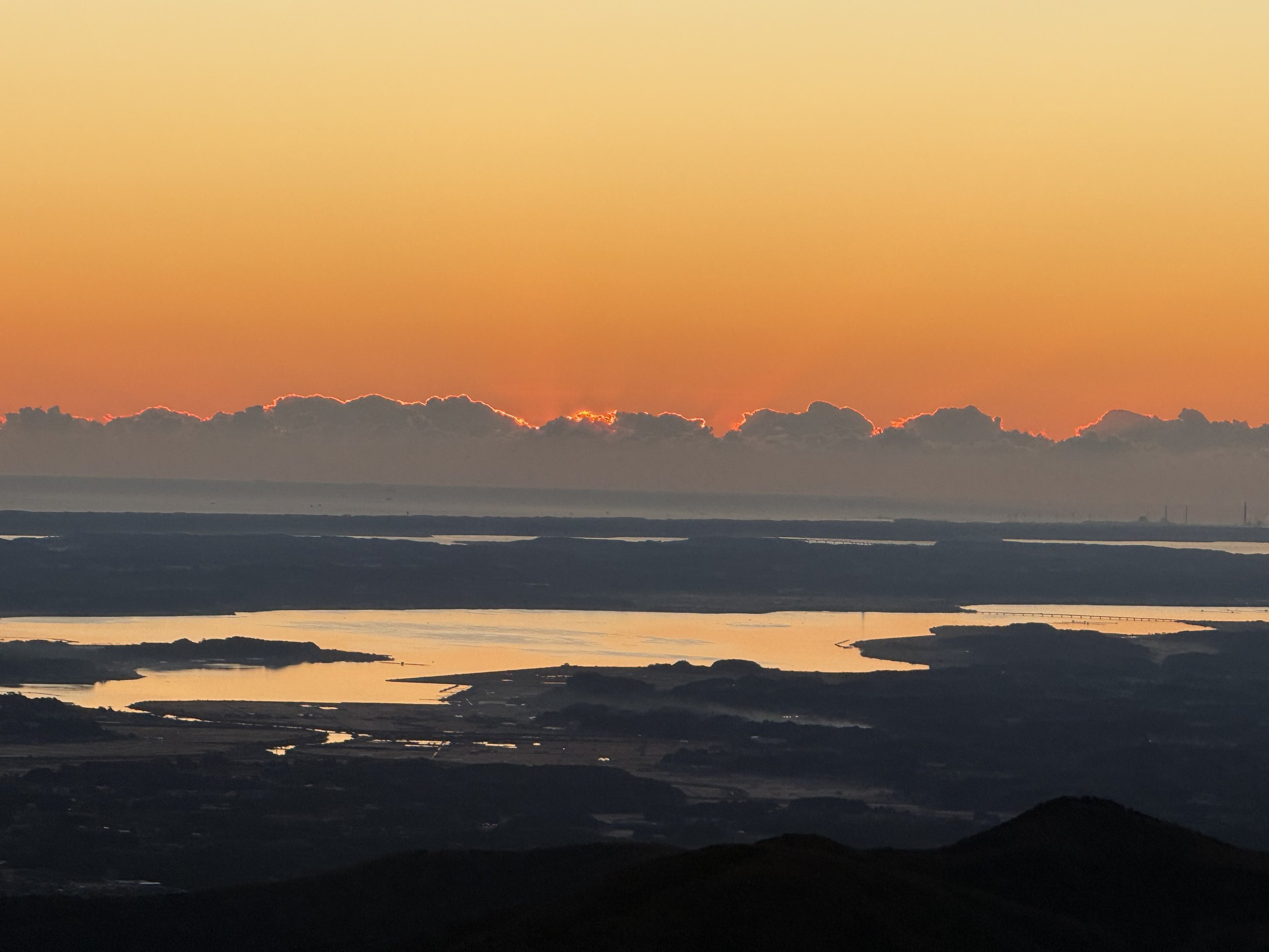
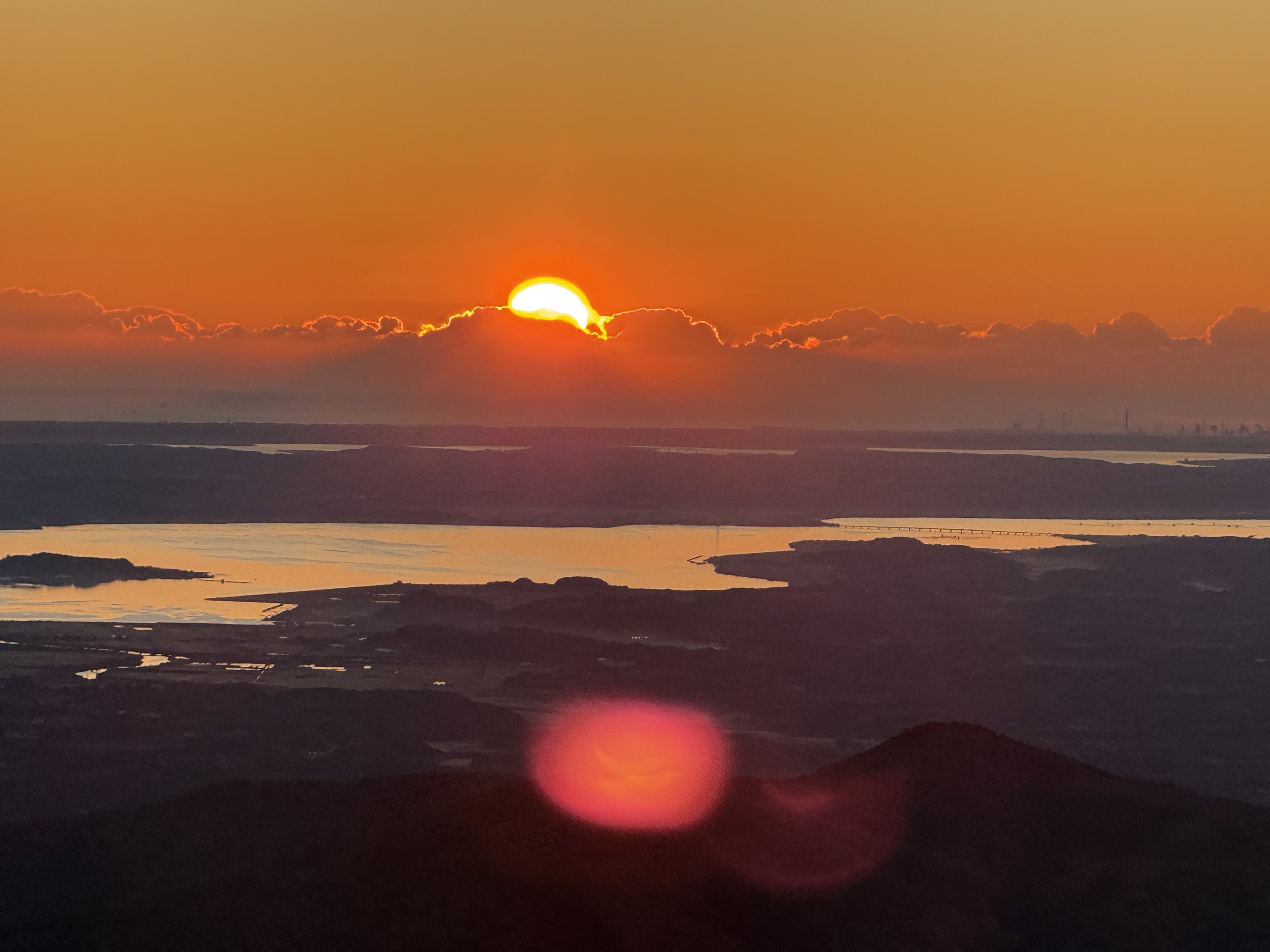
Needless to say, the view was amazing – not only view of sun rising behind the magnificent Mt Fuji but panoramic view of mountains, cities, villages and rice fields. One of the attractions along the trail is over a dozen of unusually formed rocks and supposedly every rock has a story (too many and too long to mention in here). Mount Tsukuba Shrine is another highlight and supposedly many people visit the shrine to worship.